Stalking Yourself | Mobility
Today, most of us have access to some device that is capable of tracking movement through GPS. While the data which results is of a very simple nature (latitude, longitude, timestamp), there is a lot to discern about where we spend our time, how we get to places, and even perhaps, places we go that we’d rather keep secret.
Mobility is my topic of responsibility in the Self-sufficient tribe. Earlier I tried mapping the students of Iaac. who are using the metro as their daily means of transport but after analysing all their kml files, I figured out that there are not many people using metro. Mapping people travelling by both metro as well as on foot, running, bicycling gave better results and inferences.
The first step is to stalk yourself. This can be done by turning on the GPS on the phone or any other device and using one of the application that would record your movement. For example: MyTracks.
The next step is to obtain the data in .gpx or .kml or any other format and then import the file on to grasshopper. The data now was used to visualise how each of them travel in Barcelona and what means of transport was used and how efficient the system is.
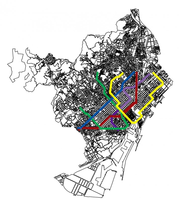
Metro Map of Barcelona
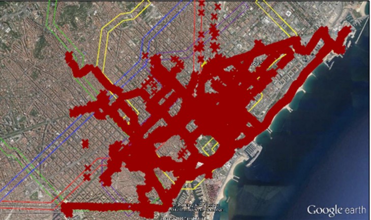
Kml points on the map

Points that intersect with the metro line
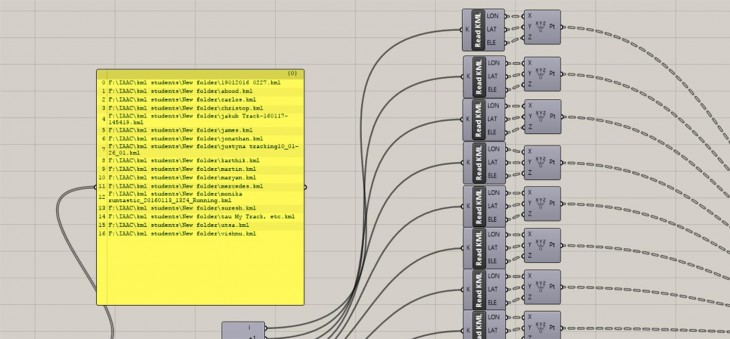
16 kml files were imported on to Grasshopper
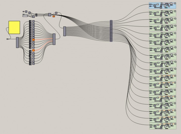
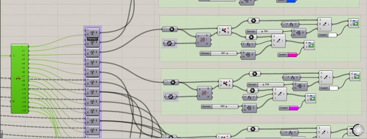
Grasshopper Script
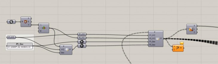
Grasshopper Script
Properties assigned to each kml file
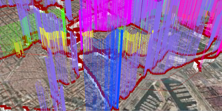
The white lines represent people travelling by metro.

Stalking Yourself | Mobility is a project of IaaC, Institute for Advanced Architecture of Catalonia developed at Master in Advanced Architecture in 2015-2016 by:
Students: Viplav Goverdhan
Faculty: Luis Fraguada
