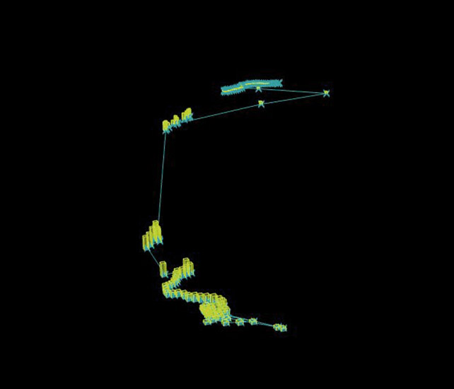
In a well urban planned city like Barcelona which has smart user friendly public transport the distance for commuting between two places is lost its all about the time. Here I have tried to visualize the relation of Public transport in a common man’s life with time as an important factor. Using various digital interfaces which has GPS Tracking devices it helps to stalk ourselves .
With the help Of Ghowl Data Transfer between the GPS tracking device and Grasshopper becomes very efficient to visualize the data .
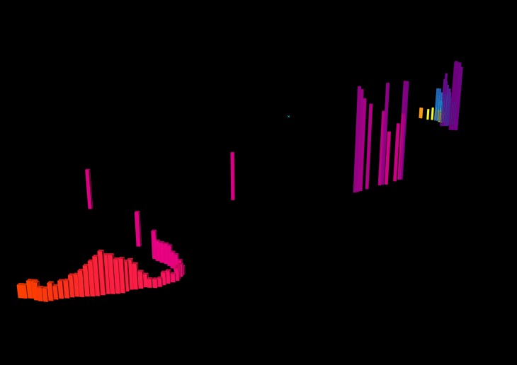
Data visualization of various commuters identifies the Hyper nodes in Barcelona during certain period of time.
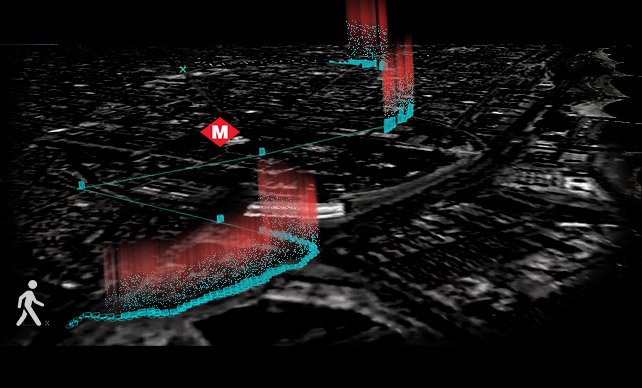
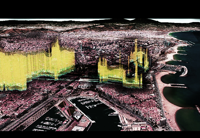
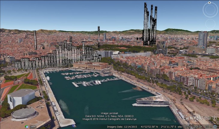
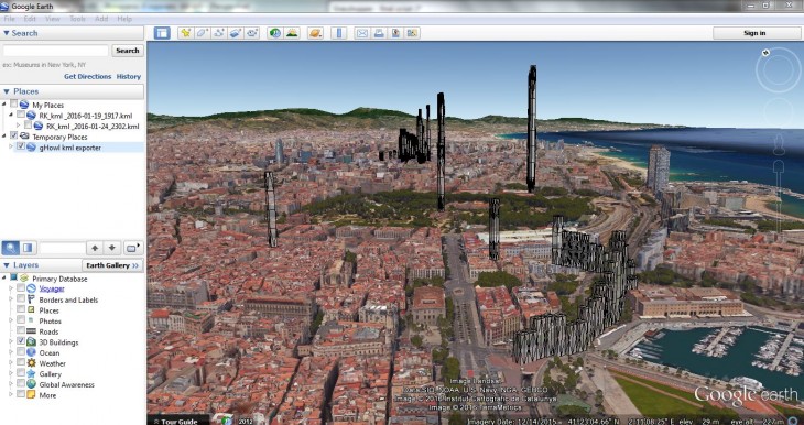
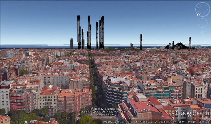
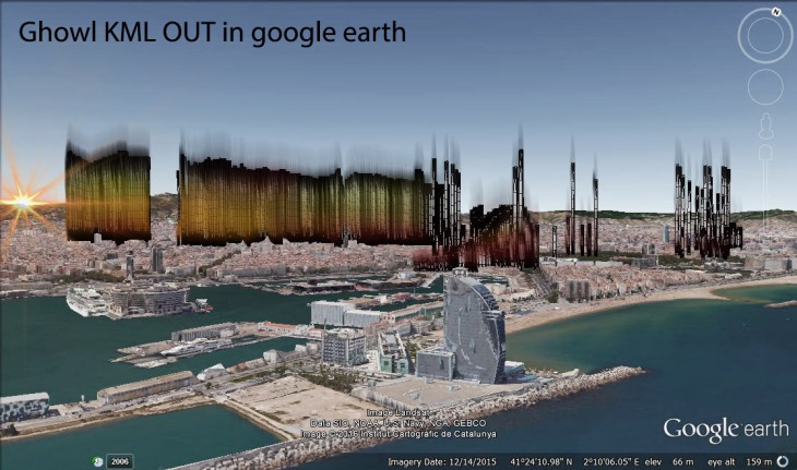
Ghowl even helped to export the visualized data to be overlaid on GOOGLE EARTH to catch a glimpse of what is happening under the streets in the metros .!!!It is also fascinating to understand the topography of Barcelona with respect to the Metro planning which runs across and connects at different levels .
The BCN Mobility is a project of IaaC, Institute for Advanced Architecture of Catalonia developed at Master in Advanced Architecture, MAA01 in 2015 by:
Students:
- Chenthur Raaghav N
Faculty:
- Luis Fraguada
- Rodrigo Aguirre
