WET WARE BCN – GRID E :
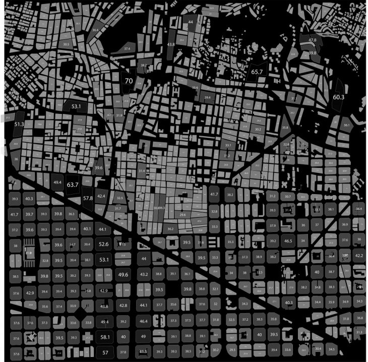
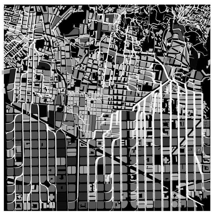
We analysed the grid E in the center of the Barcelona which is densely populated in terms of population and buildings. The 60 percent of the 9 sqkm grid is covered by residences. The northern part of the site is covered with topography with ecological systems. The CO2 emisions in this grid was very high because of the density with less vegetation. The emission was more than the absorption in the certain parts of the grid.
BARCELONA SATELLITE IMAGE
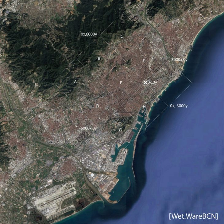
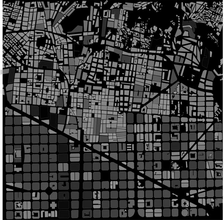
NINE BY NINE KM SQUARE GRID :
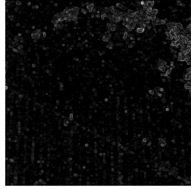
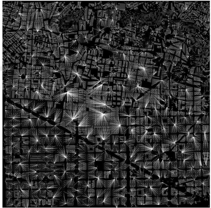
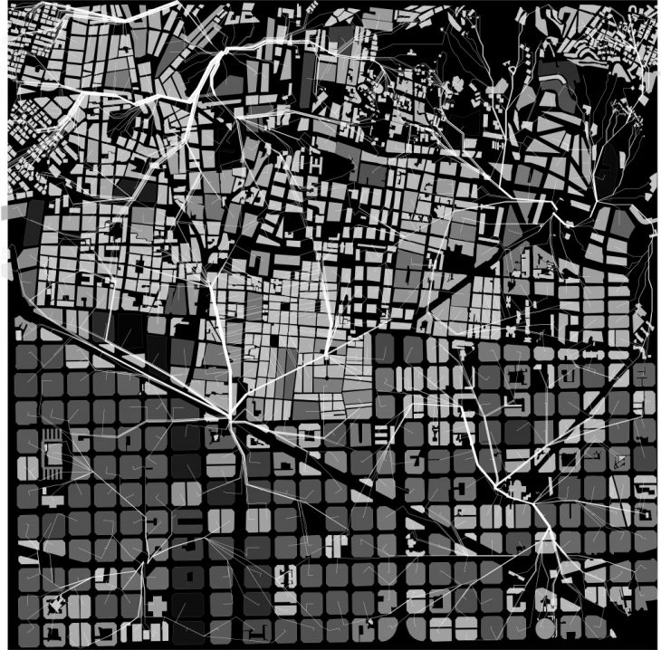
VEGETATION MAP :
Through Satellite images we got the vegetation from high density to low density. With the help of contours we got the proximity of the nearest biological spaces with respect to each and every building.
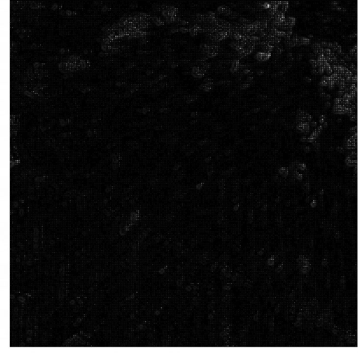
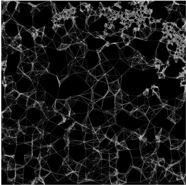
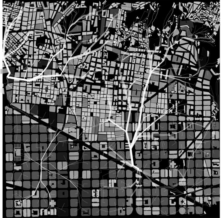
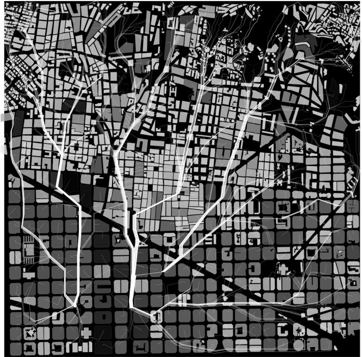
PATH SYSTEM;
This biological network runs from the high ecological system to the lowest ecological systems. As we can see in the southern part of the grid the path was created in the existing road networks which is a proper grid.
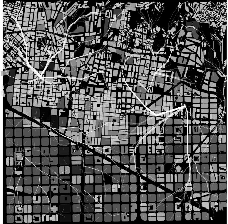
PROPOSED PATH SYSTEM :
Introductory Studio G2 // IaaC, Institute for Advanced Architecture of Catalonia
Developed at Master in Advanced Architecture in 2018 by:
Students: Apoorva Soni, Manojraj Manachanallur Raju Periyasamy
Senior Faculty: Claudia Pasquero and Marco Poletto (EcoLogic Studio)
Computational Expert: Konstantinos Alexopoulos (EcoLogic Studio)
