IAAC – Master in Robotics and Advanced Construction
Studio II
Faculty: Aldo Sollazzo, Daniel Serrano
Assistant: Soroush Garivani
SENSING MACHINES
MACHINE COGNIFICATION FOR ADVANCED SPATIAL PLANNING
Credits: MRAC 19-20 Research Studio II led by Aldo Sollazzo, Daniel Serrano, Students: Anna Batallé, ?rem Ya?mur Cebeci, Matthew Gordon, Roberto Vargas.
Syllabus
The construction industry is a historically complex sector. In the late 20th century, the increasing difficulty to establish efficient practices became largely evident, indicating the need for a deep reassessment of its own foundation. In such a framework, a strong impact is foreseen in the next few years for companies introducing advanced automation systems. Behind the word automation, there is an essential factor enhancing the effective implementation of emerging solutions: data.
Data-driven practices are, indeed, triggering the introduction of novel applications bringing closer the different stakeholders in the AEC sector, from design to manufacturing to on-site operations. As an undeniable force capable of revamping the stagnant AEC sector of construction, data becomes central to redefine existing protocols and probably introduce new ones. Nonetheless, in a historical moment where data is produced at an unprecedented rate, the increasing capacity of data storage is not balanced by an equal ability to analyze its contents. In such a context of data expansion, novel extraction techniques must be introduced to describe spatial configurations.
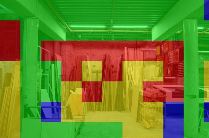
This research studio will focus on the potential implication of sensing machines as a dynamic infrastructure for strategic spatial analytics and planning. Students will be exposed to the application of emerging technologies that offer tools to inform spatial strategies, unveiling dependencies, common patterns, through a data-based protocol of observation and analysis. Through visual analytics, we will focus on handling massive, heterogeneous, and dynamic volumes of information by integrating remote sensing, paired with computer vision and machine learning, to develop a solid operational approach to establish the criteria to study, observe and analysis habitats, producing maps to enhance advanced planning strategies.
Learning objectives
During this studio, students will be integrating robotics, computer vision and machine learning to determine spatial metrics improving efficiency, resiliency, and logistics of spatial configurations.
The studio’s goal is to use data to offer a clearer insight into design, manufacturing and on-site construction operations, establishing parameters to support decision making.
Keywords: Sensor FeedBack, Scanning, Digital Analysis, Optimization Algorithm, Data Acquisition, Point Cloud, Path Planning, Responsivity & Adaptation, Autonomous behaviors, Data Mining, Drone, Computational intelligence, Machine perception, Machine learning