PUBLIC SPACE DATA VISUALISATION WORKSHOP
This workshop is part of the Knowledge Alliance for Advanced Urbanism Project, co-funded by the Erasmus+ Programme of the European Union.

TUTORS: Aldo Sollazzo, Chiara Farinea with Mathilde Marengo, Daniele Ingrassia and Starsk Lara
KA-AU PARTNER INTERVENTIONS: Luis Falcón (InAtlas), Andreu Ulied & Marite Guevara (MCRIT), Manuel Gausa (UniGe), Andrea Caridi (DARTS), Oliver Broadbent (USP)
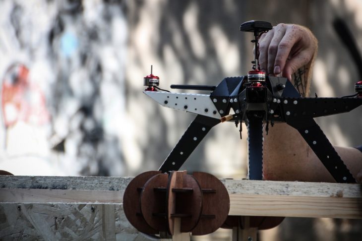
 The Workshop will be focused on using sensors and/or drones to capture data from public space, process the data and create dynamic alternative cartographies of the public space (based on data such as environmental data and flow patterns).