This project is a application of graph theory methods acquired during the course of Digital Tools for Geometrical Optimization. In a imaginary setting for designing a city in Mars, these methods can be useful when dealing with real situations of analysis.
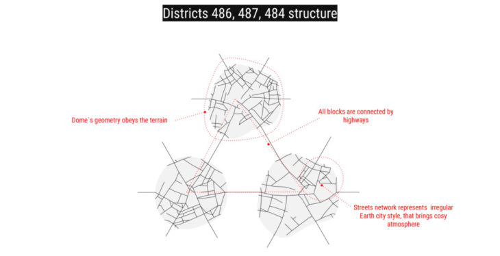
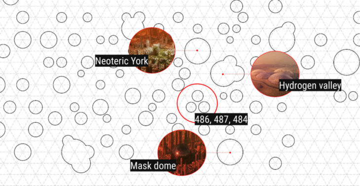
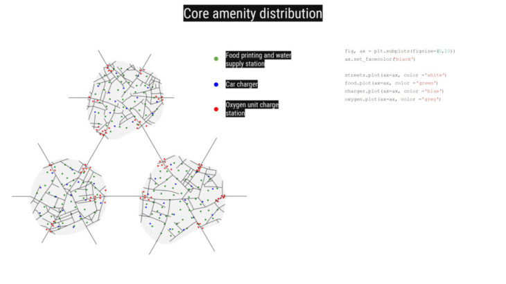
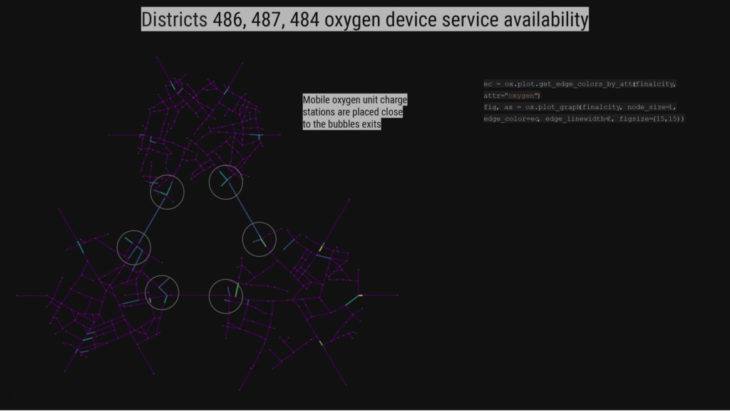
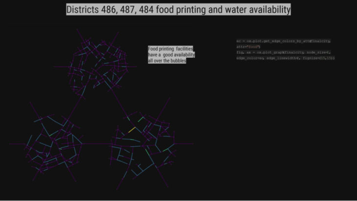
Through Decoding spaces we achieved a irregular street network of 3 interconnected domes, over a triangular grid of highway connections. 3 neccesary amenities are added and their distribution can be better understood through appending them to the streets.
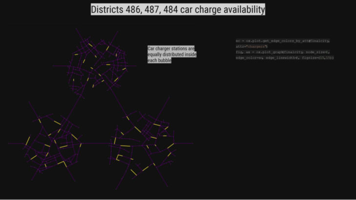
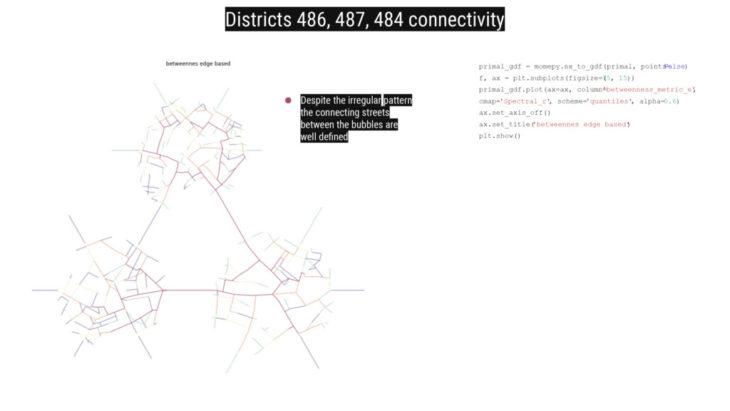
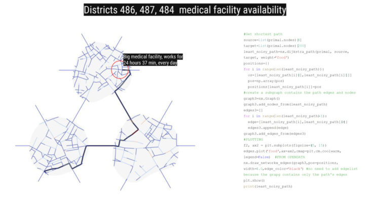
Representing street network as graphs makes it possible to conduct various analysis. Through the betweennes centrality the importance of the streets can be understood, while also other shortest path analysis can be carried out.
Mars Districts is a project of IAAC, Institute for Advanced Architecture of Catalonia developed in the Master in Advanced Computation for Architecture & Design 2021/22 by students: Erida Bendo, Olga Poletkina and faculty: David Andres Leon, Dai Kandil.