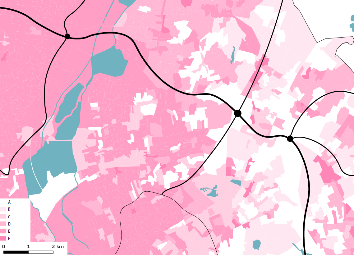
This map shows the proposed intervention zone along the A406 motorway; the most Eastern node at the base of the Epping Forest is surrounded by consumer’s categorized with lower vulnerability. Moving along the motorway, the most Western node is surrounded by consumers categorized with higher vulnerability. Thus, we can extrapolate how creating an ecological corridor along this motorway to drive biodiversity back into the city and connect these two regions would be beneficial for the lower-income community; understanding these demographics is crucial for us to ensure we are proposing appropriate intervention