Different types of land use existing:
1. Agricultural Land
2. Cereal Land (Temporary/Seasonal Land)
3. Urban Land
4. Rural Land
5. Forest Land
There is a certain proportion between them that needs to be maintained in order to maintain the
balance. Due to urban sprawl in recent years, there is a disturbance in the proportions which
leads to land scarcity.
The major two types of land being highly affected are Agricultural Land and Urban Land.
The Dutch are world leaders in agricultural innovations and the world’s largest exporter of food
products in the Netherlands. Hence, we chose the Netherlands as our site.
On the other hand, the Netherlands is the most densely populated country of the EU with 488 people
per km 2 making it one of the most densely populated countries of the world.
The Netherlands is the 4th richest population of the world and the main industry they excel in is the
food processing industry.
Also due to BREXIT, a lot of multinational companies are slowly moving and branching to
Amsterdam, the Netherlands having a severe increase in the young population and excelling
universities.
Therefore, the two mainland use we have decided to address is Urban land and Agricultural land
having the Agricultural Land percent reduce from 68.5% in 1961 to 53.3% in 2016.
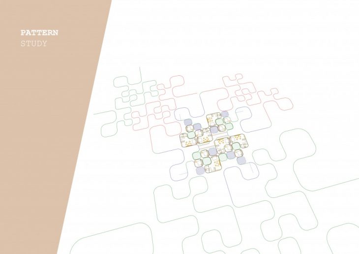
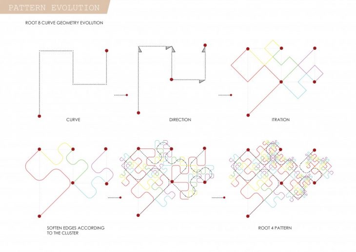
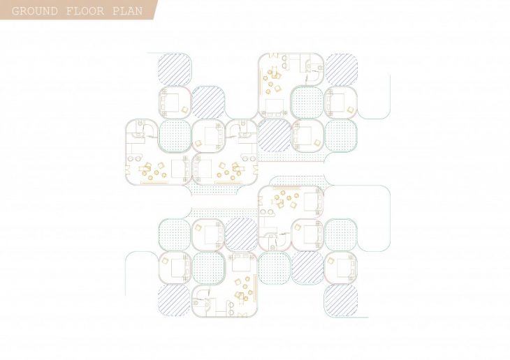
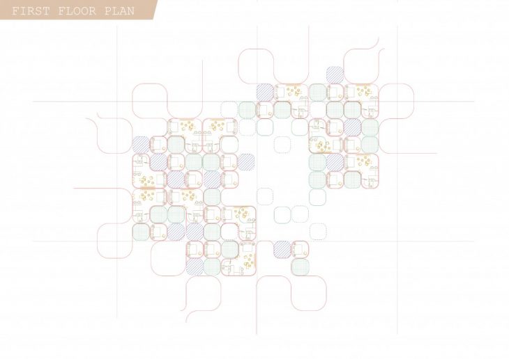
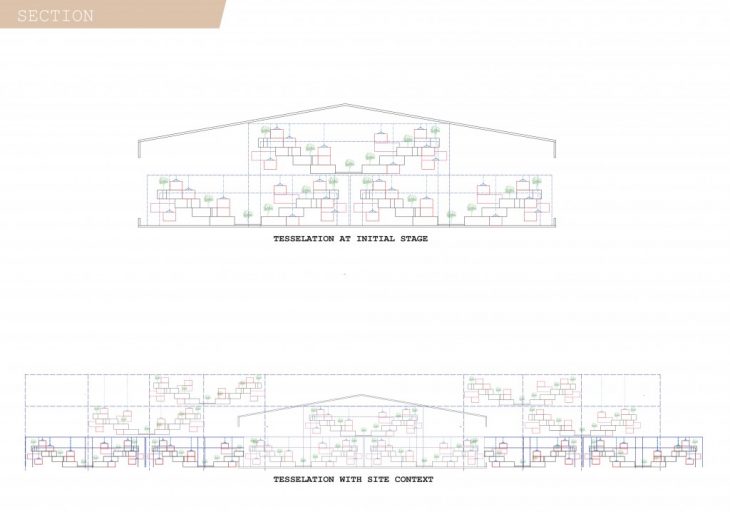
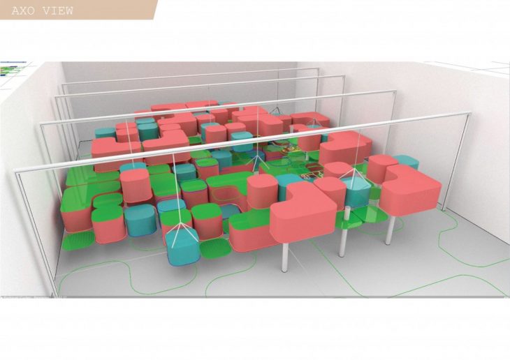
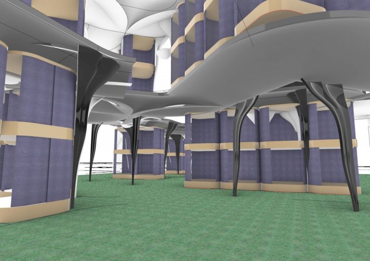
In order to make maximum optimization of land to ensure even a small patch of land can be used,
we have tried to tessellate our site resulting in optimum utilization of spaces.
Tessellation means – An arrangement of shapes or polygons close fitted together, without gaps or
overlapping and no negative spaces.
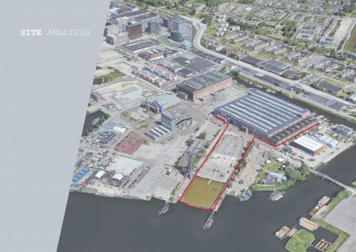
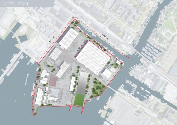
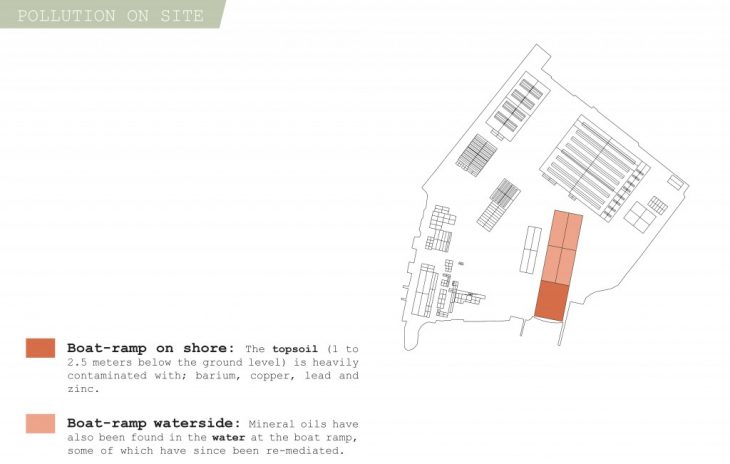
Our site is NDSA shipyard in Amsterdam which is used for some events here and there and some
office spaces.
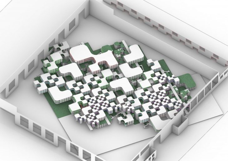
Addressing the 2 main land use types –
Agricultural Land | Built-up Land
Agricultural Land | Built-up Land (tessellating)
This is how Agricultural Land and Built-up Land can be intervened so that the 2 can co-exist
amongst each other.
under-utilized
 06a
06a