New Sydney CDB analysis
The Sydney CBD was extracted from the Open Street Maps to choose a location with it to re-formulate the layout and analyze its outcome according to shortest paths and centrality indexes.
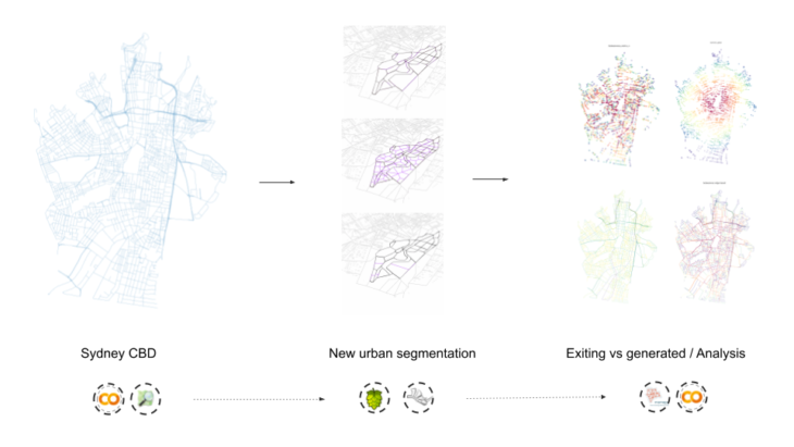
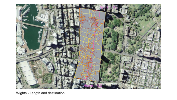
within the CDB area a couple of block in the heart of the city provided the connections for the new Layout

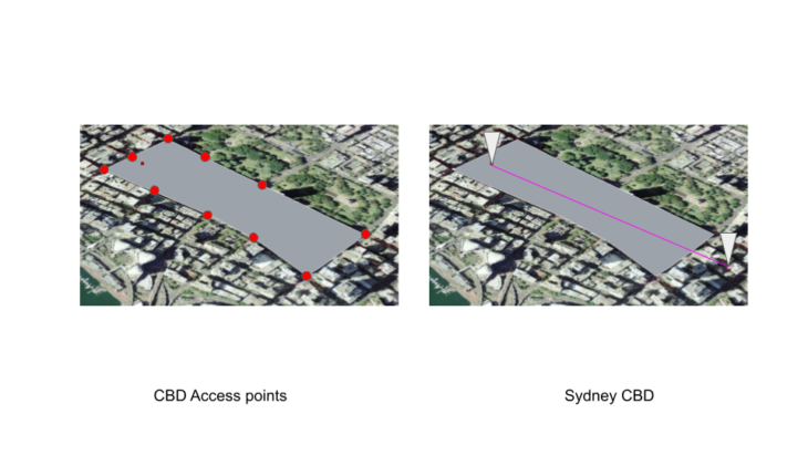
The initial parameters that formulated the new Layout were the access point and the shortest path in between a residence and a place of work
An evolutionary solver generated a few new block scenarios maximizing the amount of streets but optimizing the shortest path at the same time.
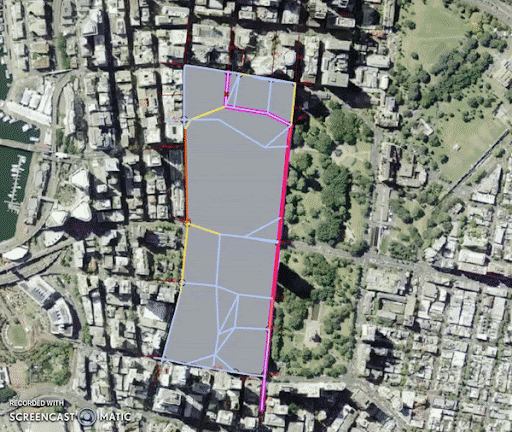
Another parameter that determined the shape of the new layout was the street angle, which was selected to have more randomness to avoid the pre-existing block-like arrangement.
After the evolutionary simulation produces a variety of option, a few were selected to be tested for centrality and shortest path
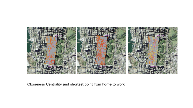
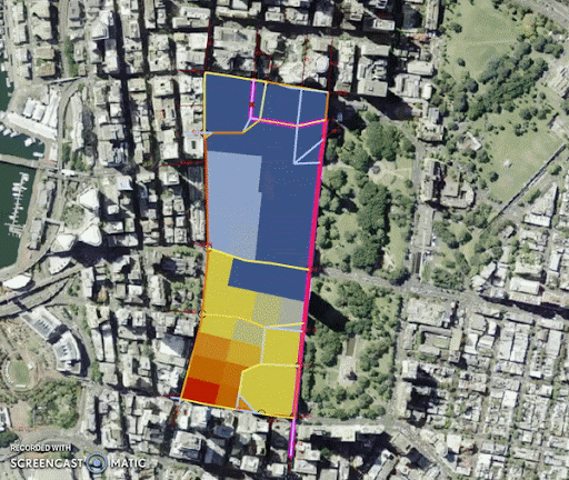
The length of the streets was used as weights assuming that the longer the segment the more people that will live there

New Sydney CDB analysis is a project of IAAC, Institute for Advanced Architecture of Catalonia developed in the Master of Advanced Computation in Architecture and Design 2021/22 by Student: Alexander Lopez, Faculty: David Andrés León and Dai Kandil.