The project is a scripting exercise using Rhino and Grasshopper. The location chosen for this analysis is city of Barcelona. The data was gathered from CartoBcn and Open Data BCN. With this simple grasshopper code (mainly using a plugin ”shortest walk”) you can find the road that you want to choose walking through Barcelona.
You can choose any start point and the end point. After that the script will show you the three options of the paths to choose.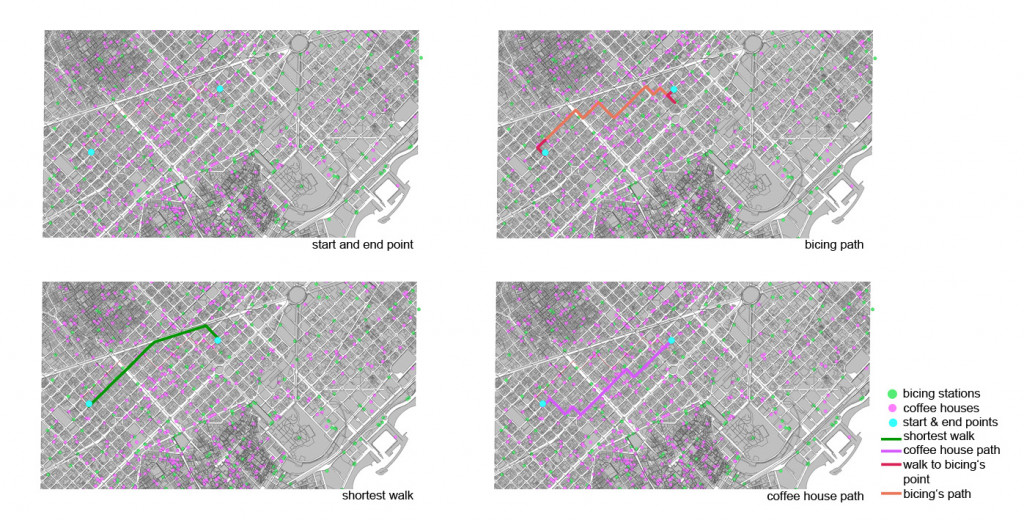 First path is the shortest walking distance. It is represented by a green line. The second option is for the people who are using Bicing ( public bike-sharing system) in Barcelona. It will show the closest Bicing’s station ( in the entire city are more than 400 stations) to the start and end point the path to them as well as the road between those points which should be done by cycling.It is represented by a green orange and red lines (red is walking distance, orange is cycling path).
Third path based on the highest density of coffee places in the area of your walk. It will show the way with biggest amount of coffee house so during the walk you will have many possibilities to choose the one that you like the most. It is represented by a purple line.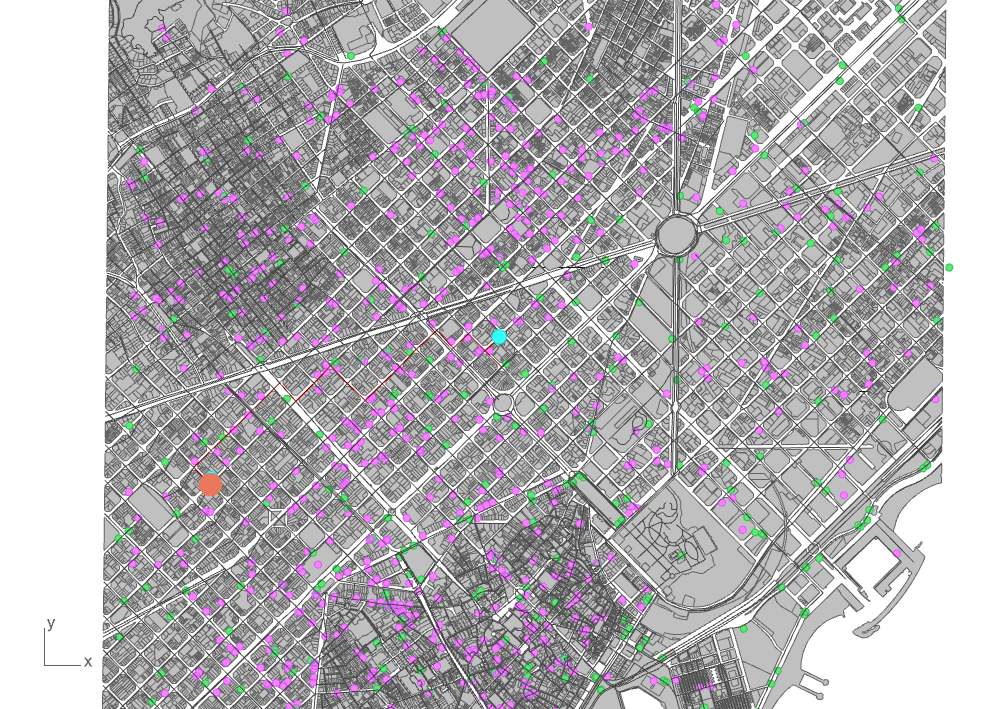 It will also count the needed time to get to the end point and shows it on the simple diagram.
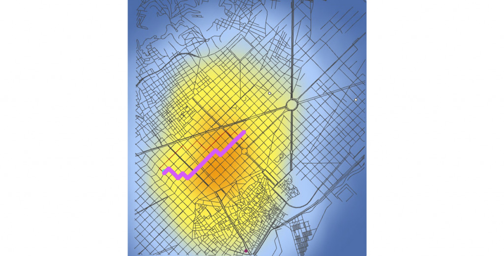
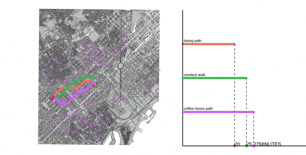 The heat map shows the concentration of coffee houses in Barcelona city.
The coffee-path is marked with a purple line.
Find your way in Barcelona ,is a project of IAAC, Institute for Advanced Architecture of Catalonia developed at Master in City & Technology in 2020/21 by student: Marta Galdys, and faculty: Eugenio Bettucchi & Iacopo Neri.