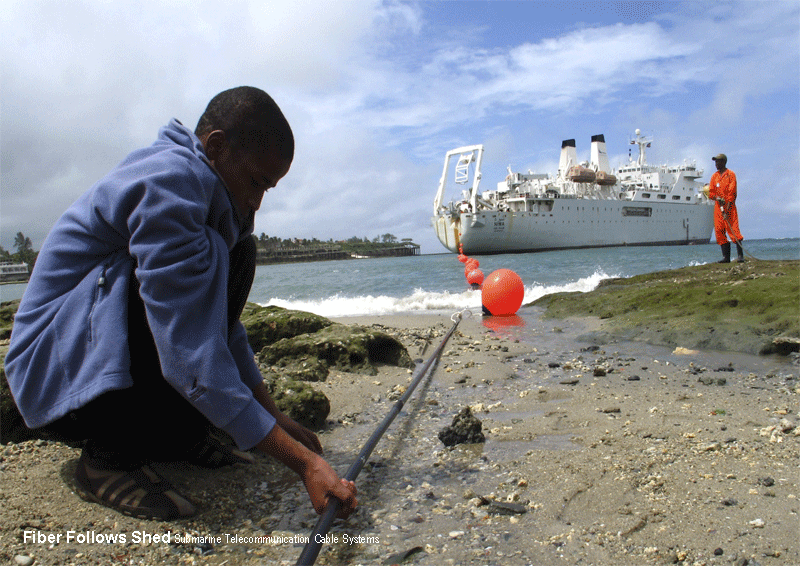
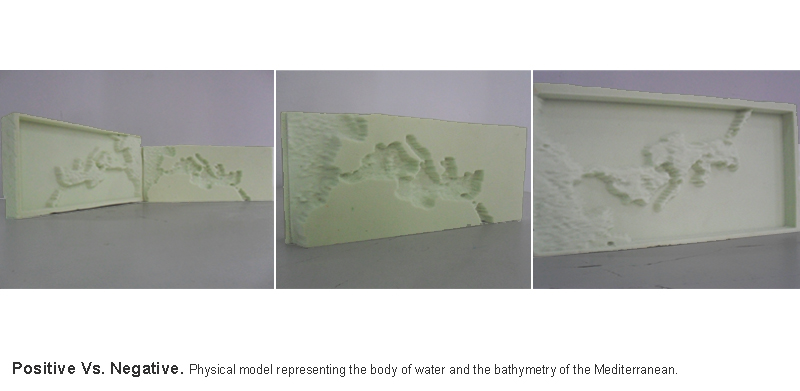
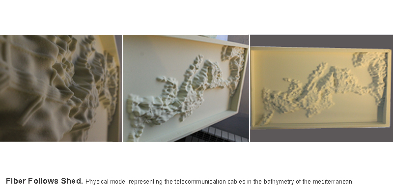
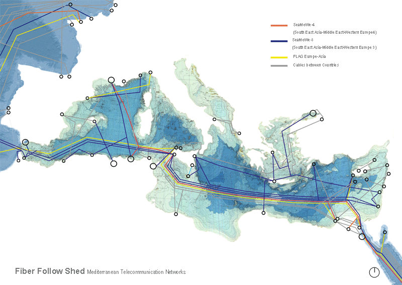
 The main task was mapping the telecommunication cables in the bathymetry of the Mediterranean to have a better understanding of the information transfer between continents and to comprehend the form of this dynamic flow in fiber cables which respond to the complexity of the Mediterranean bathymetry. The first step was milling two experimental models on foam for the bathymetry and the water body of the Mediterranean. After that, we started to map the fiber cables which owned by fifty five different telecommunication companies and which separated to two main groups: cables work for big scale connecting continents like SeaMeWe-3 ..etc. and the second group works between two countries or small scale only. Then the final step of the workshop was to represent this dynamic relation in a bigger scale and self explanatory model.