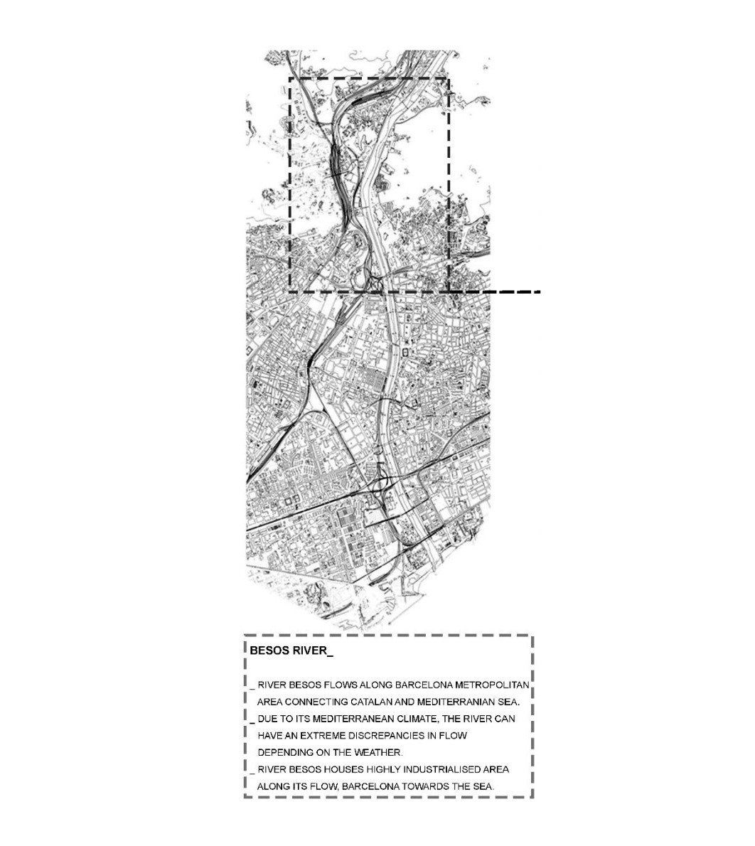
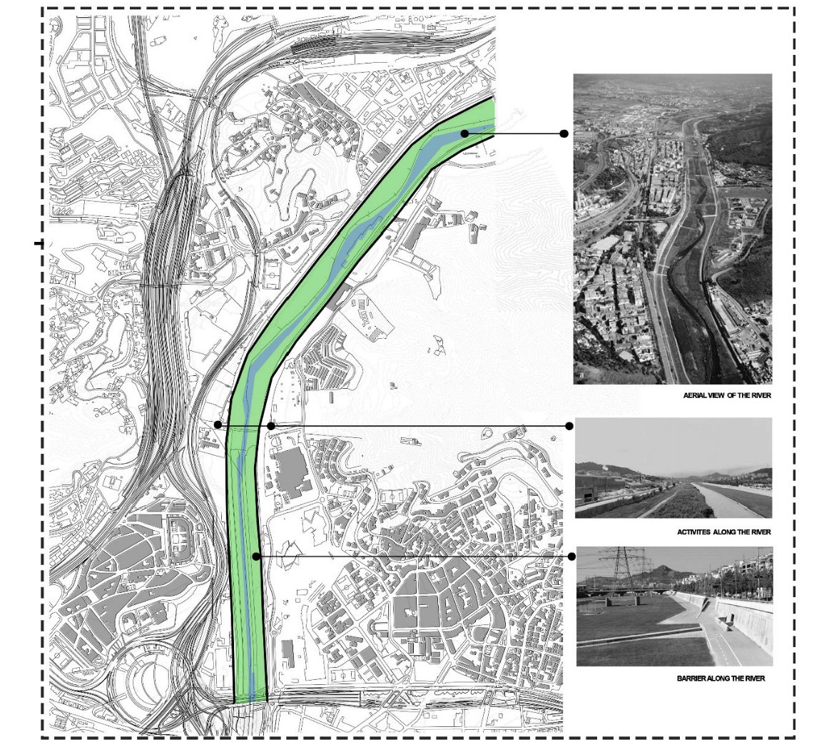
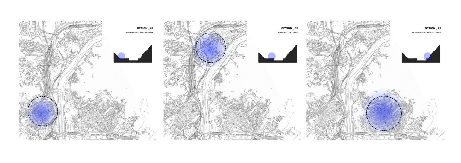
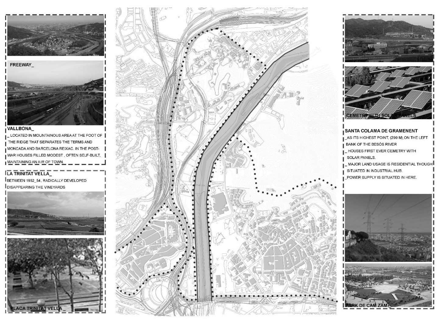
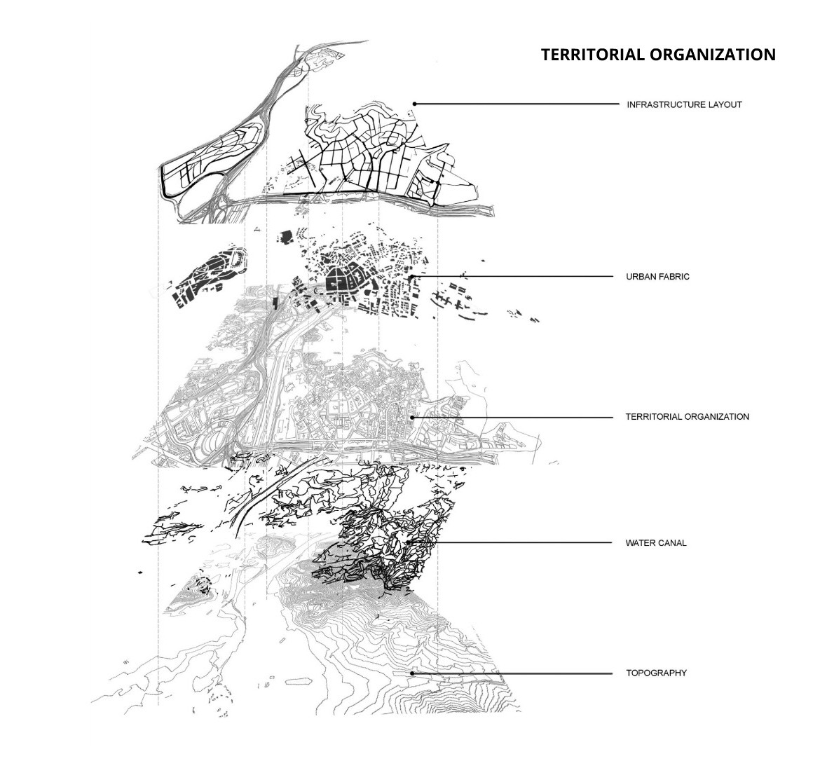
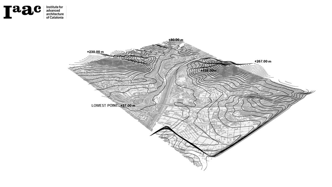
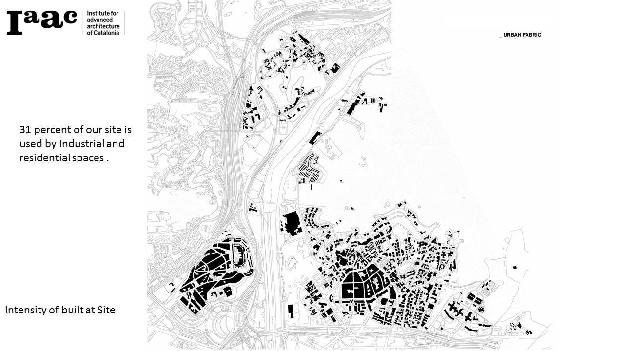
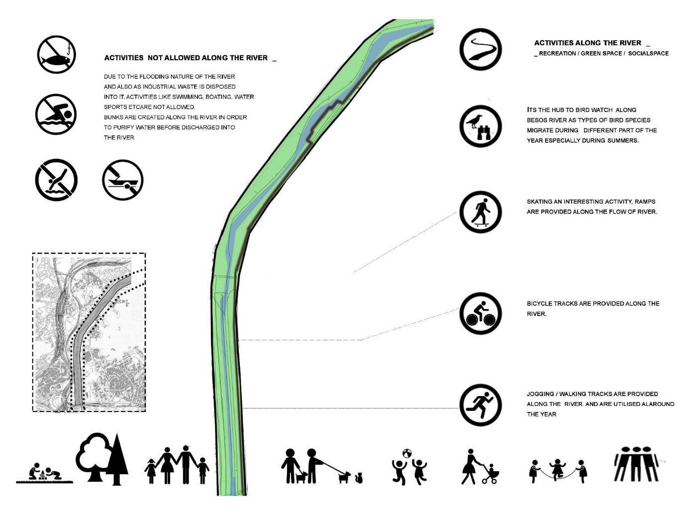
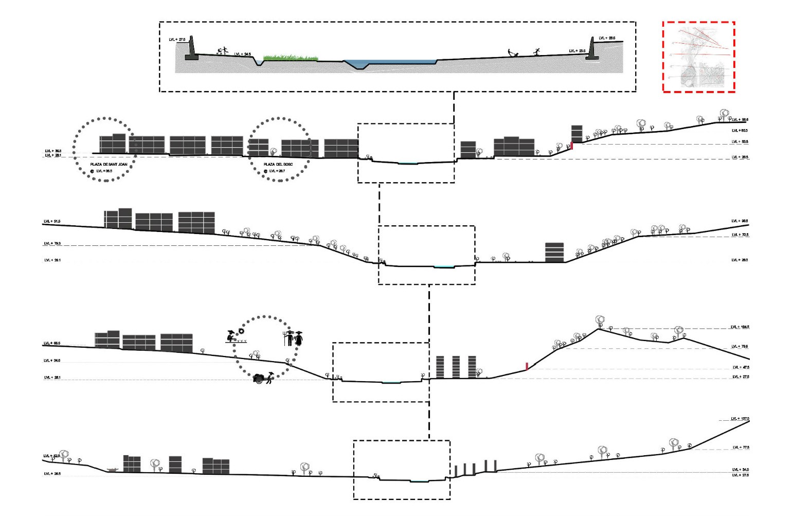
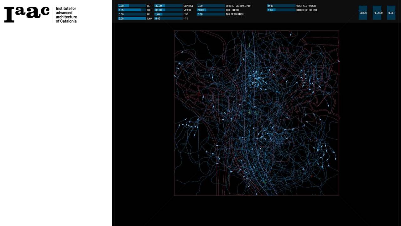
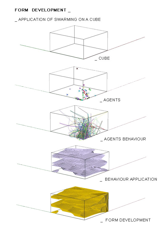
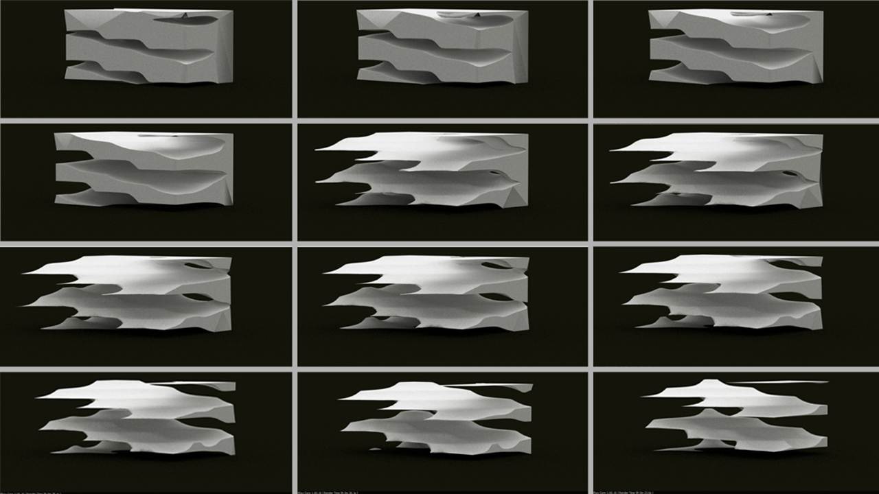
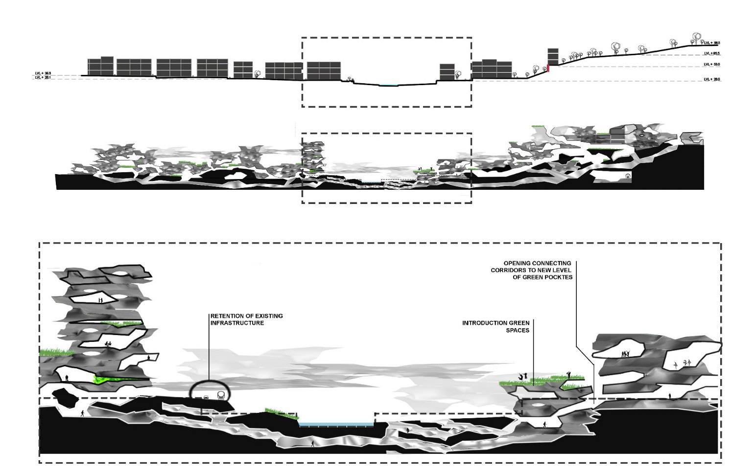
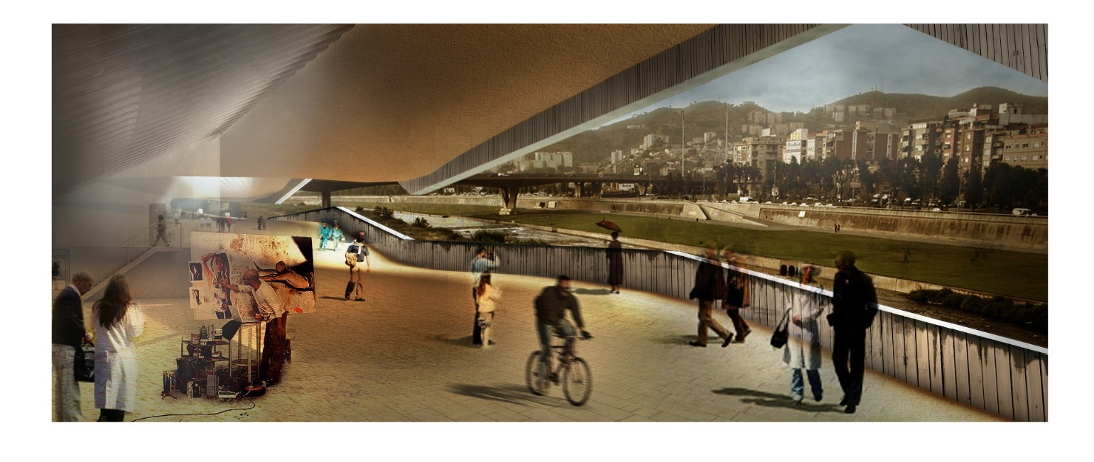
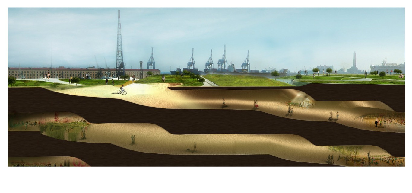
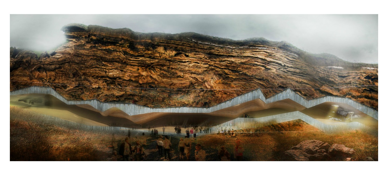
Besos river diving the site into two parts, one being the residential area and the other intern divided by the national highway into the industrial and the agriculture .the topography of the site creates a valley with the river forming natural boundaries which govern the activity and form of development at the site. The small pockets of open spaces and the green corridor along the river are identified as agents for understanding the circulation of activity and control the activity along these channels with the help of agents forming a swarm theory that interconnect . these connections create nodes are used to establish new grounds to form multi overlay of modules that blend into the existing urban landscape. The growth diagram of the modules work linier and lateral excavating the landform to connect the sites naturally with out breaking the natural topography physically but only visually.