Mapping the Eixample Grid
The reason for the analysis and the fieldwork is to get a better understanding of these particular sites and urban master plan by the design of Ildefons Cerda, the recognizable eixample grid, and how these public spaces work and the way people use these urban places on a daily basis.
For the Active Public Space situated on the eixample grid, we will examine people who are residents in this particular urban area.
Residents
As a mapping subject we are interested to audit the people that are living on the eixample crossing and if they turn left or right as soon as they exit their house and walk out of the front door. Perhaps residents will go from A to B taking the fastest and shortest route possible or a high frequency of the same walking pattern might, for instance, suggest a nearby metro station. Altogether, several walking routes will be taken into account.
Mapping Strategies
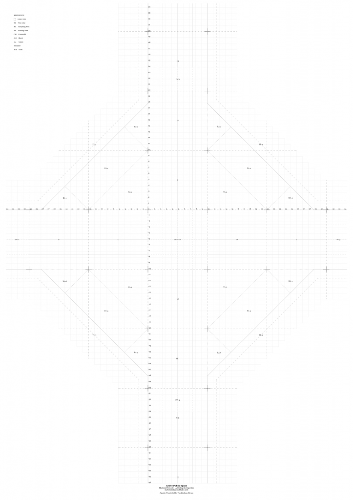
Mapping methods will be used to record the trash and jaywalking information that can be directly translated back to the technical drawing. This will be performed by analysis on site done at several times a week and at several moments per day. Taking notes and tracking people on the technical drawing of the eixample grid (as seen in the picture below) will enable us to get a better perception of how active this public space is and if its used appropriately.