Re-connecting Abu Dhabi is a project aiming at analysing the urban fabric and development of the city of Abu Dhabi, UAE. Looking at potential intervention strategies and improvements that could address some of the issues in connectivity, accessibility and activation.
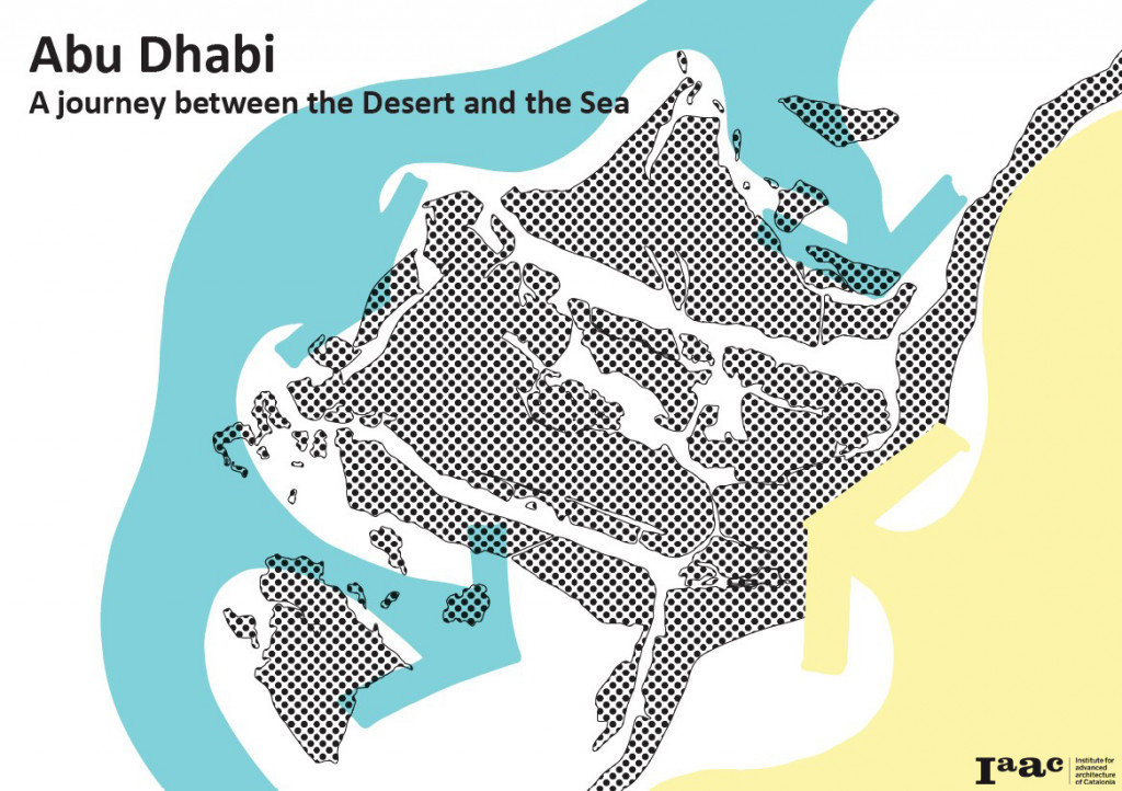
Conceptual map Abu Dhabi
For the purpose of this study, a series of maps were studied and used as a tool to analyse the city of Abu Dhabi in terms of mobility, values, areas of interest, green and open spaces. Based on these maps, our final proposal suggests the creation of two loops, a tram line along the coast, and an urban green belt.
The purpose of our project was to identify potential interventions in Abu Dhabi after analyzing the city, considering current problems and opportunities. The mains sources used in the research were geospatial information from the Abu Dhabi Geospatial portal and the Plan Abu Dhabi 2030 – Urban Structure Framework Plan. We were also able to complement the research with local knowledge and experience from one member of our team.
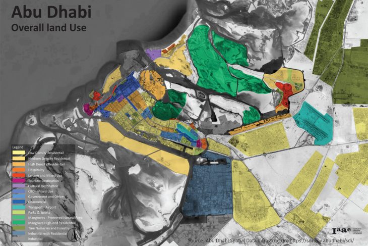
Land use map Abu Dhabi
THE ANALYSIS
All these inputs allowed us to produce a number of maps to visualize the urban fabric and key elements of the city of Abu Dhabi. This lead to the identification of some issues and areas requiring further improvements.
- Areas of interest:
- Dysfunctional connectivity system among main areas
- Mobility issues:
- Lack of pedestrian connectivity and active mobility
- Weak public transport connectivity
- Bottleneck access to the main island causing high traffic volumes in peak hours for business commuters
- Open public spaces issues:
- Lack of connectivity between green space and shaded areas on a city level
- Extreme temperatures in the summer
- Lack of connectivity and human interaction with the waterfront

Layers of study
THE PROPOSAL
Finally, our proposal suggests the creation of two loops: a tramline along the coast of the main and most densified island of Abu Dhabi and to compliment that with an internal urban green belt to improve the quality and connectivity of open spaces and pedestrian axis.
The main characteristics of the 2 loops are:
- Establishing stations at the access point to the main island, promoting a multimodal transport system, and facilitating the reduction of private vehicles inside the island.
- Facilitation of the mobility along with the cost, increasing the attractiveness of waterfront revitalization projects
- Improvement of the quality of the public space, linking mobility and green areas as a way to improve pedestrian mobility as an element of a broader multimodal transport system.

Abu Dhabi loops proposal
Re-connecting Abu Dhabi: A Journey Between the Desert and the Sea is a project of IAAC, Institute for Advanced Architecture of Catalonia developed at Master in City & Technology in 2020 by students: Marta Galdys, Leyla Saadi, Riccardo Palazzolo Henkes, and Faculty: Manuel Gausa, Nicola Canessa & Giorgia Tucci.
