Geolocation: Food Forest
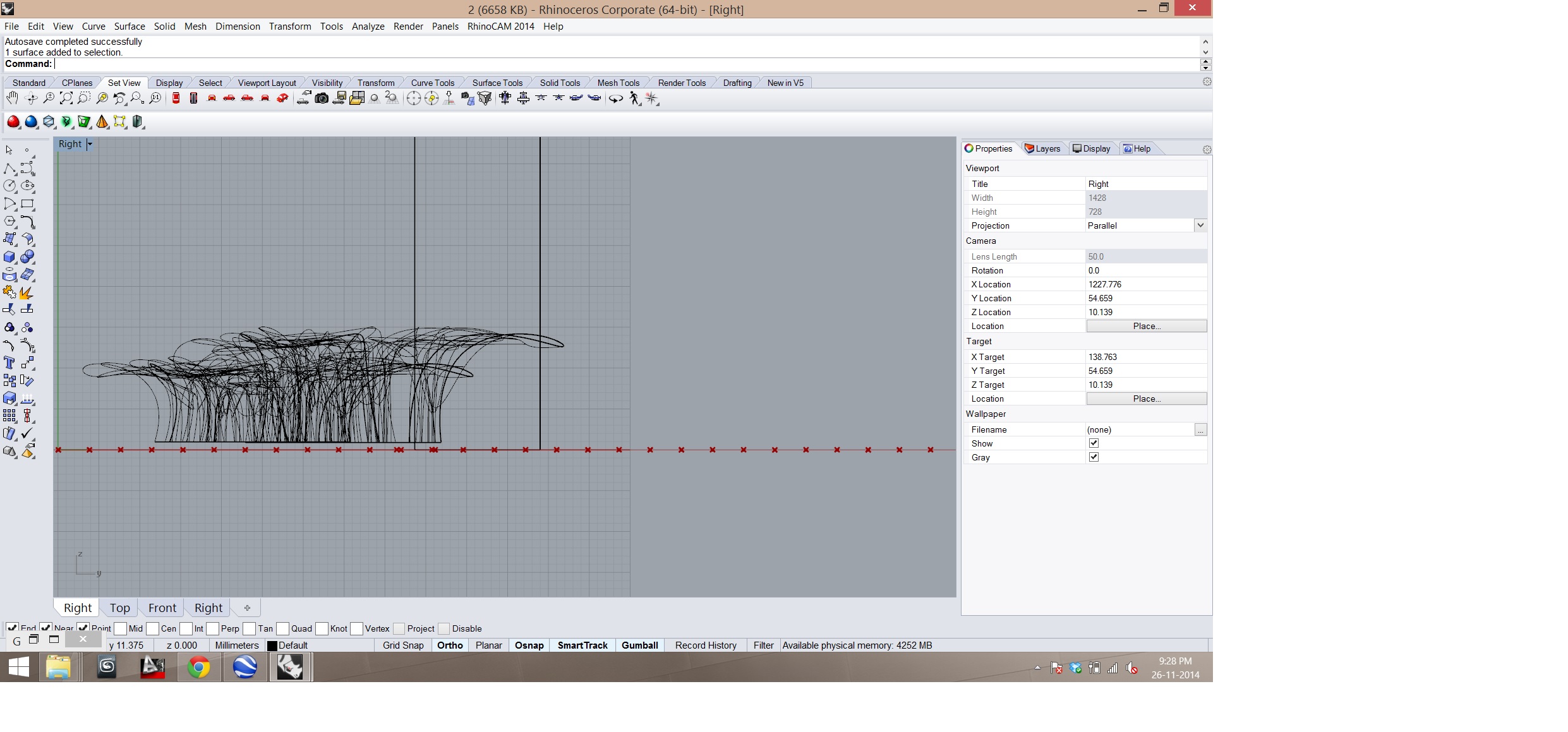
Team: Adhitya Rathinam, John Koshy Assignment: Geolocation – Food Forest Using Google Earth: Location of the project in google earth saved as an image. 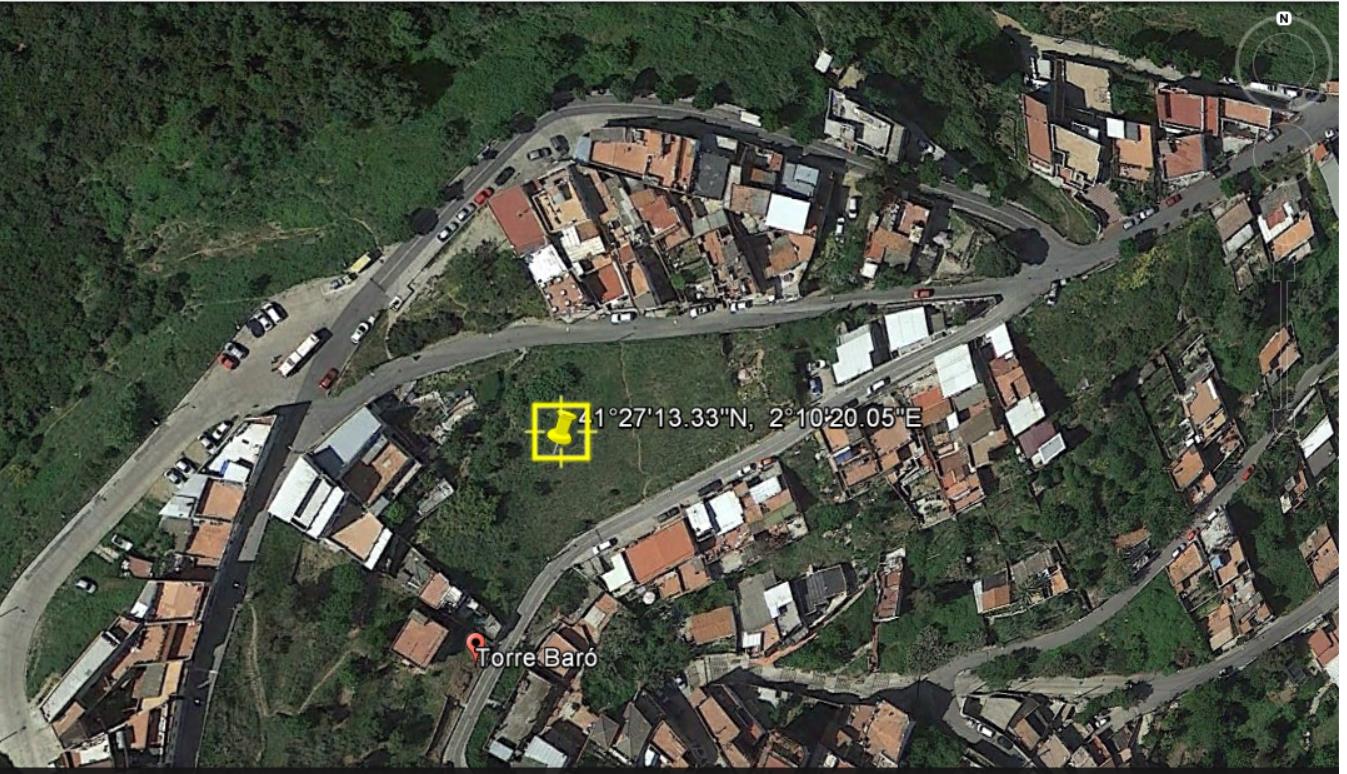 Rhino and Grasshopper: Importing the image saved from Google Earth into rhino.
 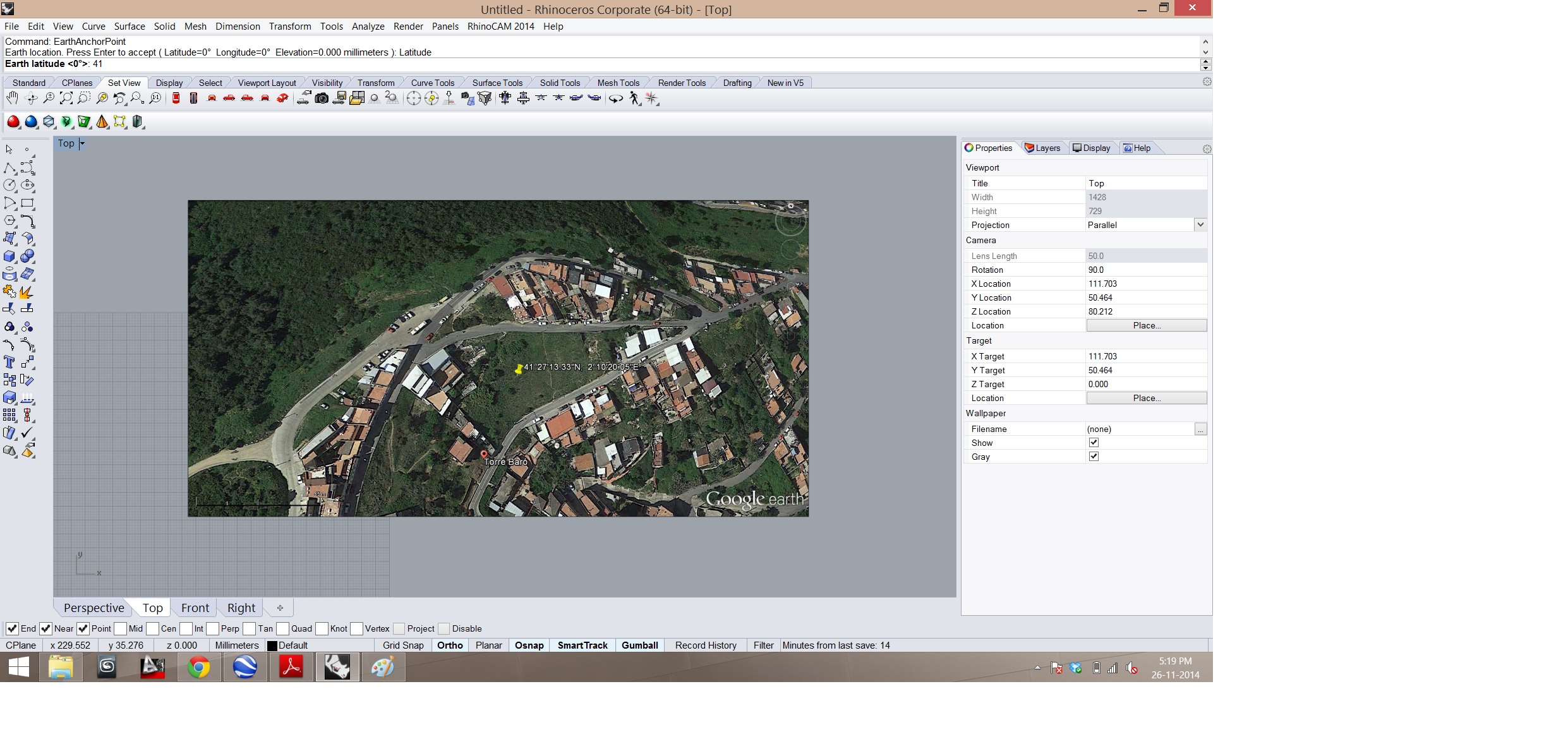 Using the grasshopper to divide the surface and Flatten the panel.
 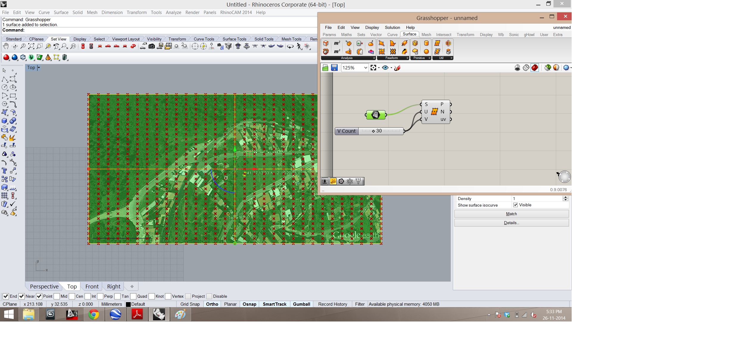 Using ghowl plugin to enable the coordination of the map based on the google data and the elevation.
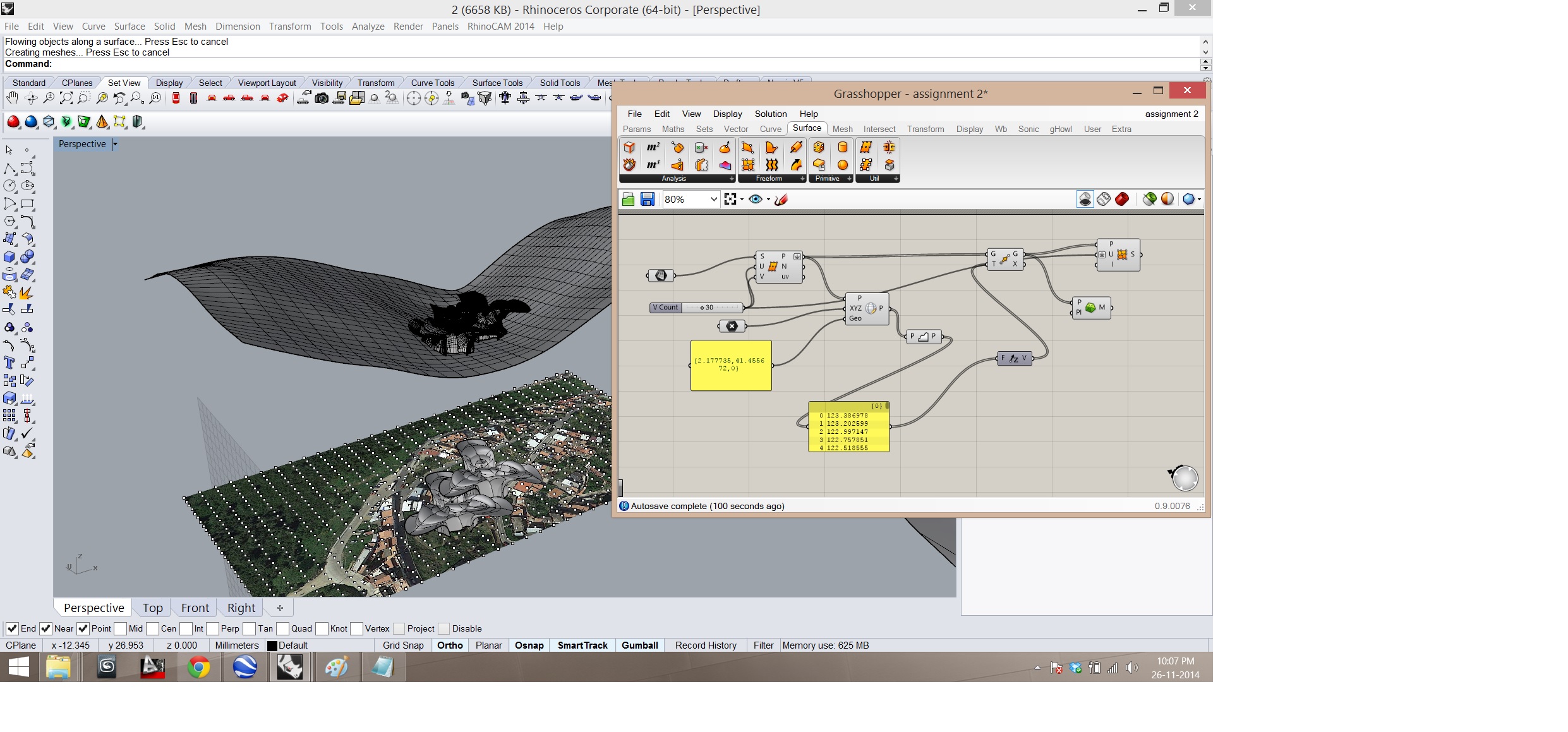
 Moving point in Z Axis to get the the altitude of the terrain and creating mesh from those points.
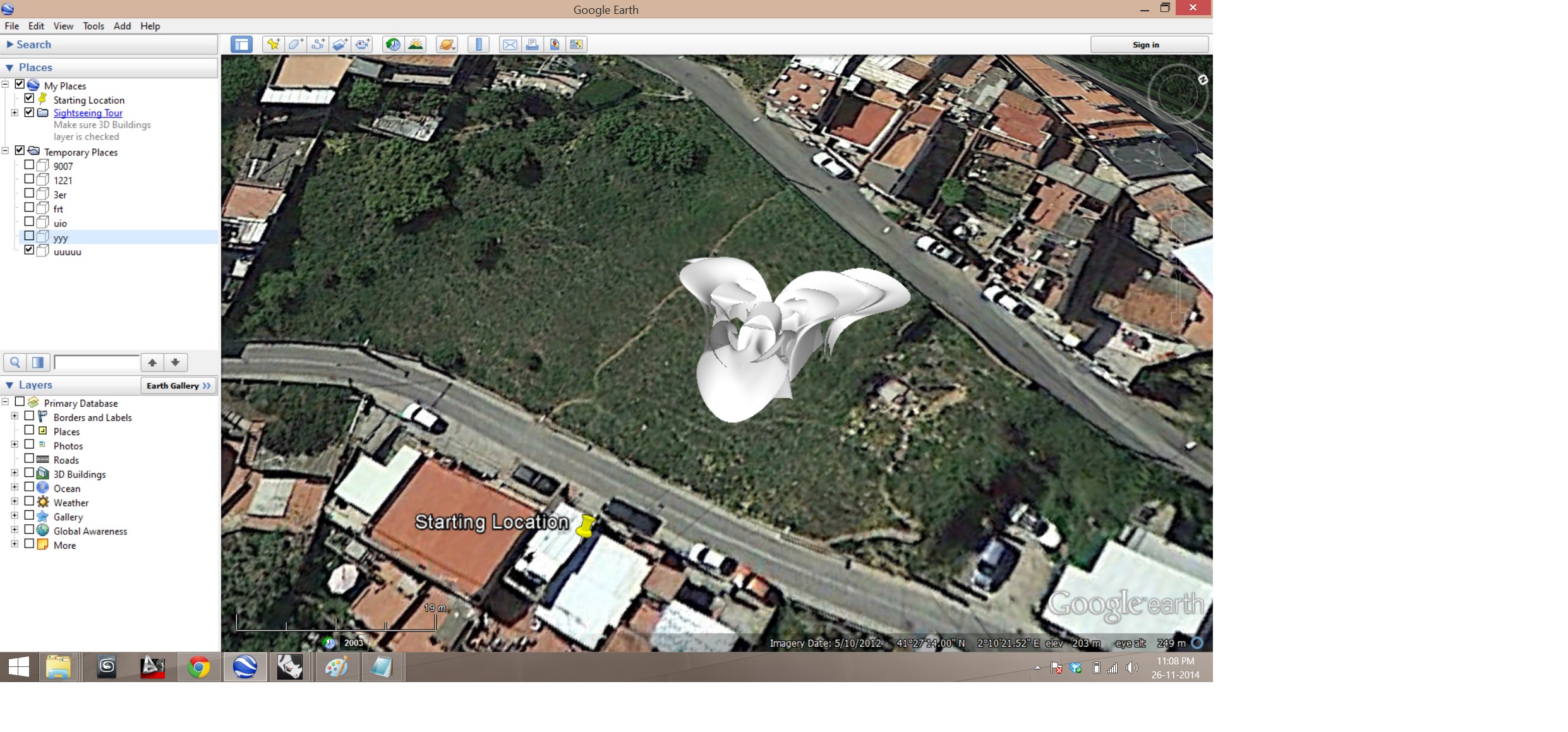
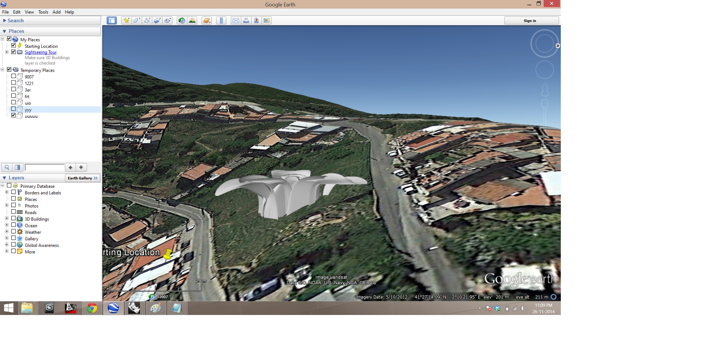
 Using the Earth Anchor Point to place the imported project model on to the site and exporting as .kmz file.