Master in City & Technology – Term 2
Seminar Name: Urban Data Analytics
Total Hours: 20 hours
Faculty: Alex Mademochoritis
Context & Agenda
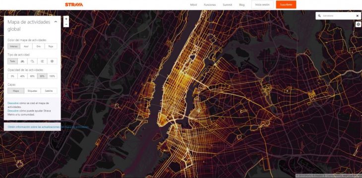
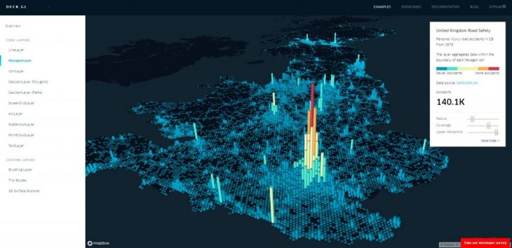
Cartography and Geographical Information Systems have proven to be extremely potent tools for not only the mapping and visualization of geolocated data but also for the deeper understanding of complex urban phenomena which by nature cannot be seen by the naked eye.
Following up on the development of the MaCT students’ understanding of QGIS and Python, the Urban Data Analytics seminar aims to further enrich the MaCT’s professional toolbox for the collection, structuring, analysis, and visualization of geolocated data by teaching them how to create interactive web maps of Barcelona.
By creating interactive maps, MaCT students will be able to increase the complexity of their visualizations, narratives, and strategies for the implementation of interventions in the urban environment.
Methodology & Tools
The methodology of the seminar will be the following:
- Define a Narrative:
- Build an Index
- Define KPIs (Key Performance Indicators)
- Collect Data
- Visualize Data in a Static Map
- Transfer Static Map to an Interactive Web Map
- Design Web Map’s User Interface
- Publish Web Map to the Public
During the seminar students will:
- Work with geospatial data formats and GIS features
- Use common geospatial data formats (CSV, shapefile, geojson)
- Work map projections and coordinate reference systems
- Work with map tiles, vector data (pbfs), raster data
- Use HTML, CSS, and Javascript for the creation of Interactive Web Maps in Mapbox Studio.
Tools used during the Seminar:
- QGIS 2.18.18
- HTML, CSS, Javascript
- Google Chrome Developer Tools
- Mapbox Studio – Students need to create their own account prior to the beginning of the Seminar.
- Mapbox GL JS
- Virtual Studio Code – Students need to install this software prior to the beginning of the Seminar.
- Github – Students need to create their own account prior to the beginning of the Seminar.
- Github Desktop – Students need to install this software prior to the beginning of the Seminar.
Final Deliverables:
- A PDF explaining the workflow of each group, graphically illustrating each point of the methodology described above.
- An Interactive Web Map showcasing their ability to visualize and communicate an urban phenomenon.
References & Additional Resources:
Urban Analytics References and Additional Resources have been included in the Students Folder – General Documents folder of the MaCT students’ Google Drive.
