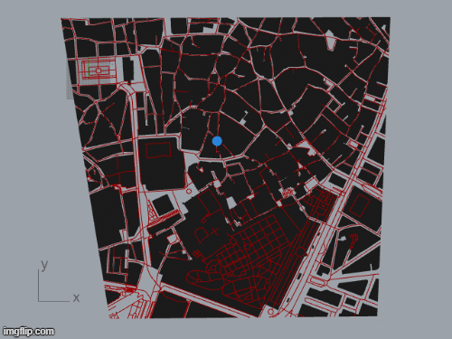
Using grasshopper and importing cadastral files from Seville we can see the possibility of the program to map probable routes, the green line represents shortest path possible. The blue considers the attractor and orange the route with most visibility. Not saying it applies to practical day to day to the city tourist but as a practical tool for designers to better understand city flows, and perhaps aesthetic experience of the city pedestrians, two important elements on urbanism.
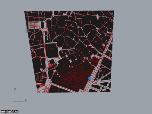
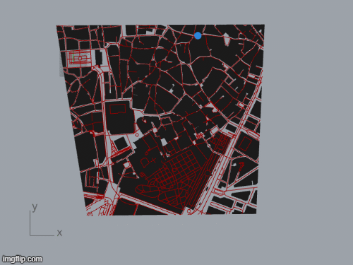
Seville resembles north African traditional cities due its Muslim heritage. Parcels are highly irregular, without clear boundaries when an parcels end and another begins. Due to this nature, I considered interesting this setting to see different shortest path configurations.
Touristic routes in Sevilla Historic center, is a project of IAAC, Institute for Advanced Architecture of Catalonia developed at Master in City & Technology in 2020/21 by student: Juan Pablo Pintado, and faculty: Eugenio Bettucchi & Iacopo Neri.