Proposals for mapping in Eixample.
Proposal 1
To map the pedestrians cross the street without checking the signal.
This is something occurring especially in the Eixample, due to its diamond shaped squares. It would be interesting to observe this situation in the North to South and the East to West crossing throughout the day for an hour in the morning, midday, evening and during the night and record the difference in patterns between the two. Furthermore, we could make an attempt to define a group of people that is more likely to cross the street “individually” than others.
Proposal 2
To map the dogs that one comes across at a particular intersection.
This can be done for two or three hours in the morning and evening. After observations made on weekdays and weekends, a pattern can be found for understanding when people usually walk their pets, which direction they come from, how many dogs there are of each species, in the given area, and what percentage of people in the area have pets. These can be represented in the drawing with paw prints of the dogs representing the different breeds & their population.
Proposal 3
To map the number of coffee cups in the recycle bins.
This will indicate the number of cups bought from a specific cafe, the number of people hurrying to work or elsewhere in the morning and where they come from (in case of different cups from different cafes). This can be done every morning and the patterns across weekdays and weekends in different stations can be documented. It can be recorded in numbers per cafe/ per metro station/ per intersection. The drawing will indicate the cafes and the cups found near the intersection.
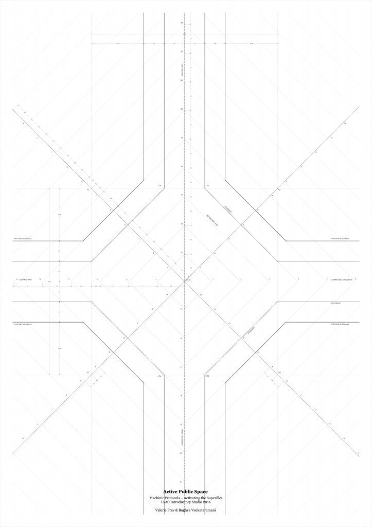
Below is the drawing of a co-ordinate system to be used to map the same.
Active Public Spaces is a project of IaaC, Institute for Advanced Architecture of Catalonia developed at the Master in Advanced Architecture studio 2016 by:
Students: Baghya Venkataramani, Valerie Frey
Faculty: Edouard Cabay, Rodrigo Aguirre