IaaC to Urban Gardens: How to connect them?
This project is analysing which would be the relation of IaaC with the nearby Urban Gardens. The selected plots are part of the Pla BUIT program of Barcelona. These places are considered as main points of interest of our Internet of Cities Project and their role as educational nodes is fundamental for the success of the whole strategy we are working on. Thus, this is an analysis on how these elements could connect with Iaac and work as a system to enforce our overall concept.

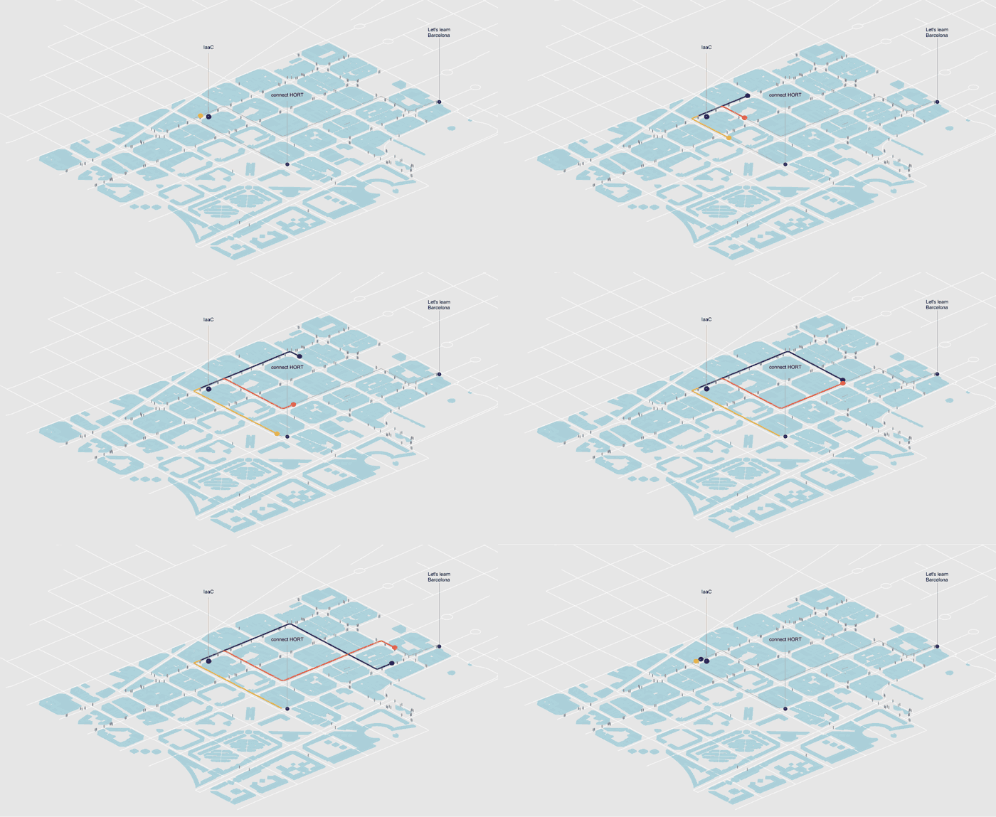
Visualization of paths starting for IaaC to the nearby Pla Buits areas.
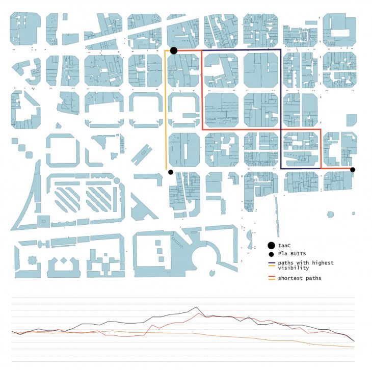
Firstly, the necessary layers were modified in QGIS and then imported in grasshopper. For each route two paths were calculated ,the shortest one and the routes with highest visibility.

Performance of each path in relation with the bus stations they come through
Afterwards, in order to have more information on which path might be more crowded, a comparative chart was made. This chart is based on which route pases form the most bus stops.

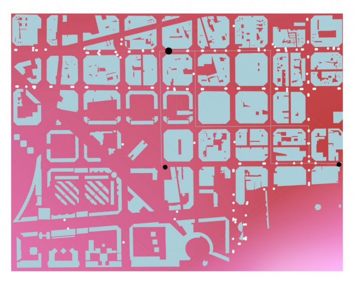
Bus stops concertration

Paths concertration
Finally, two different heat maps are representing the areas with the most bus stops and the concentation of the paths.
Sources: Open Street Maps, Spanish Inspire Catastral Downloader, Pla BUITS
IaaC to Urban Gardens: How to connect them? is a project of IAAC, Institute for Advanced Architecture of Catalonia developed at Master in City & Technology in 2020/21 by student: Diana Roussi and faculty: Eugenio Bettucchi & Iacopo Neri.
