City Data View – Tourism and territorial income generation is a geo-spatial analysis intended to give insight into dynamic between locations of tourist housing and territorial prosperity. It can inform policy making processes intended to address gentrification, in way by visualizing direct and indirect economic footprint of tourism. It can potentially facilitate policies made to generate higher income for higher number of people.
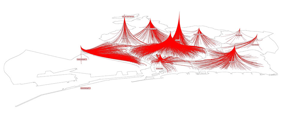
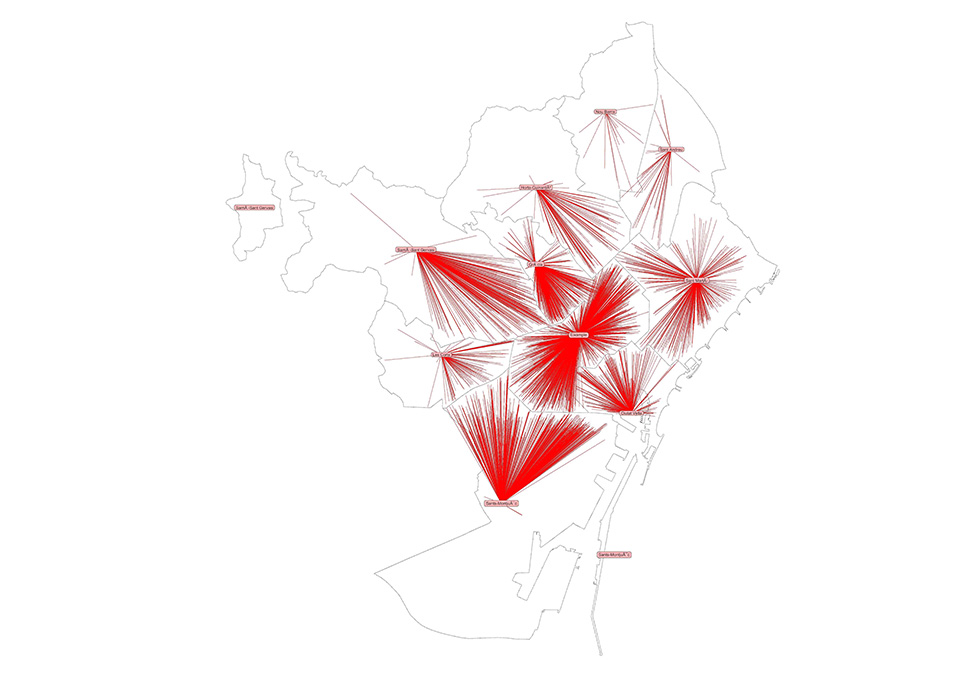
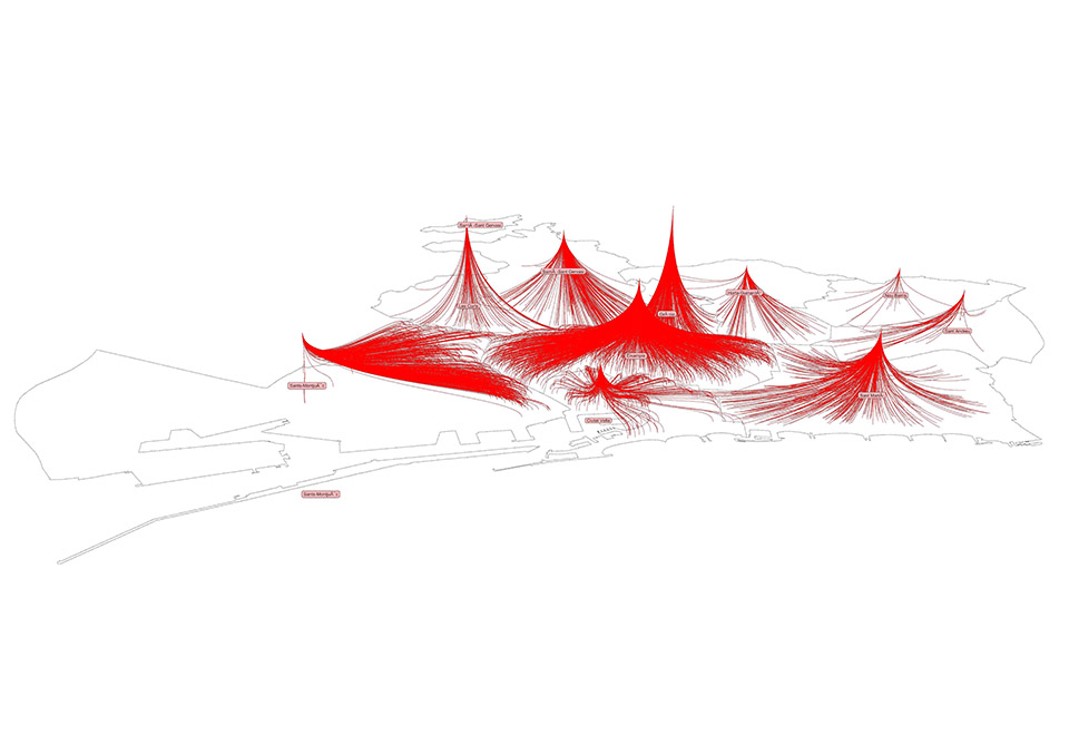
Higher density of radiating tourist housing locations in Barcelona from center of districts indicate higher touristic residential activities within the district.

Sectoral income distribution from .csv file needed to be amalgamated in order to generate district level average income data. Elevation of converging points represent level of average income of residents. Higher density of touristic residential activities appears to be directly proportional to recorded income generated by residents of Barcelona.
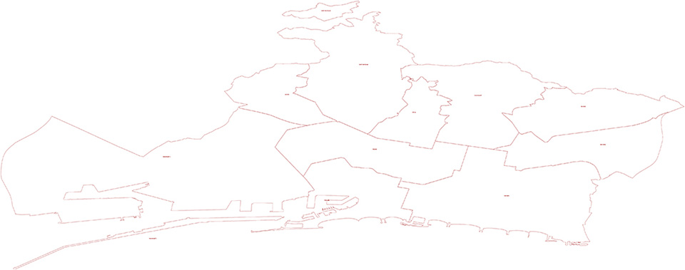
Shape file from CartoBCN is used to extract District level boundaries and names of respective districts.
Data sources
- Districts in city of barcelona (.shp file) – CartoBCN
- Tourist housing locations in city of barcelona (.csv file)
- Territorial income distribution (.csv file)
‘City Data View: Tourism and territorial income generation’ is a project of IaaC, Institute for Advanced Architecture of Catalonia developed at Master in City & Technology in (2019/2020) by:
Student: Akshay A Marsute
Faculty: Rodrigo Aguirre