KA-AU – Public Space Data Visualisation Workshop
The increasing availability of data creates new opportunities not only for monitoring and management but also for changing the way we describe, understand and design cities, challenging many fundamental assumptions of city design and planning professions.
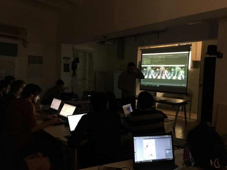
In this framework, on the 12th of December, a Public Space Data Visualisation Workshop has been kicked off at IAAC. The course has been organized by the Institute as one of the activities carried out under the Knowledge Alliance for Advanced Urbanism (KA-AU), the Erasmus+ Programme co-funded project seeking to promote innovative education and specific training for emerging technologies.
Environmental Data and Flow Patterns Analysis at KA-AU Workshop
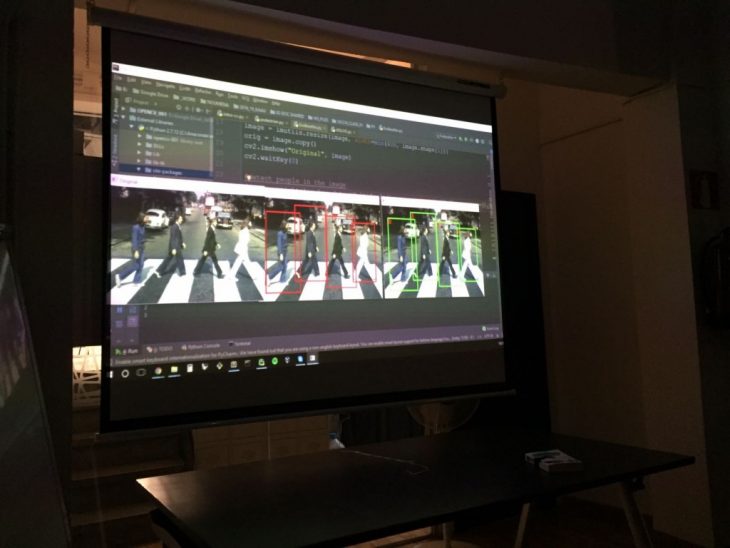
Tutored by Aldo Sollazzo, Chiara Farinea with Mathilde Marengo, Daniele Ingrassia and Starsk Lara, with the intervention of the KA-AU Partners Luis Falcón (InAtlas), Andreu Ulied & Marite Guevara (MCRIT), Manuel Gausa (UniGe), Andrea Caridi (DARTS), Oliver Broadbent (USP), the workshop is focused on using sensors and drones to capture data from public space, process them and create dynamic alternative cartographies of the public space, based on environmental data and flow patterns.
Environmental Data and Flow Patterns Analysis at KA-AU Workshop
Big Data, Advanced Urban Mobility, Data Visualization and Drones: these are the keywords to explore potentials and uses of open data and data visualisation in urban planning and development. During the workshop participants will define the scientific interest of data collection and detect critical situations, presenting evaluation of impacts of the case study and driving conclusions with respect to the pilot project.